Welcome to PROCLEP Consulting:
Your Partner for All types of Surveying Works
About
Charting Excellence for Two Decades: Your Premier Surveying Partner
At PROCLEP Consulting, we’re committed to excellence. With a legacy spanning 20 years, we’ve established ourselves as a fast-growing Surveying company with a well-defined niche in the sector. Our core strengths lie in providing high-quality, dependable services that meet the demands of conducting topographical surveys. Our legacy spans 20 years, during which we’ve established ourselves as a trusted partner for projects related to Water, Power, Railways, Roads, Highways, Canals, Pipelines, and Bridges.

Let us be your trusted partner for all your Infrastructure Surveying needs.
Call us today on +91 9073313333 to avail our services!!
Topographical Surveys

Our Topographical Surveys go beyond maps. We meticulously capture elevation data, contours, and features—both natural and man-made—on your site. Our methodical approach ensures accurate representation for your projects. Whether it’s a water treatment plant, a railway track, or a highway expansion, our methodical approach ensures accurate representation for your projects.

Fixing of Datum, Control Points & Benchmarks
Our experts establish precise datum points, control markers, and benchmarks. These serve as reference points for all measurements, ensuring consistency and accuracy throughout your project.
Ready to set your project on the right direction? Drop you details here

DGPS Surveys
Leveraging cutting-edge DGPS technology, we conduct DGPS Surveys for precise geospatial data, Establishment of Control Points, directly from Satellite so that your project is built with precision. From boundary delineation to asset management, our solutions are reliable and efficient.
Wait no more!!!!
Call us on +91-9073313333 or simply click here and fill your contact details and one of our Contract expert shall connect you ASAP!!!!!


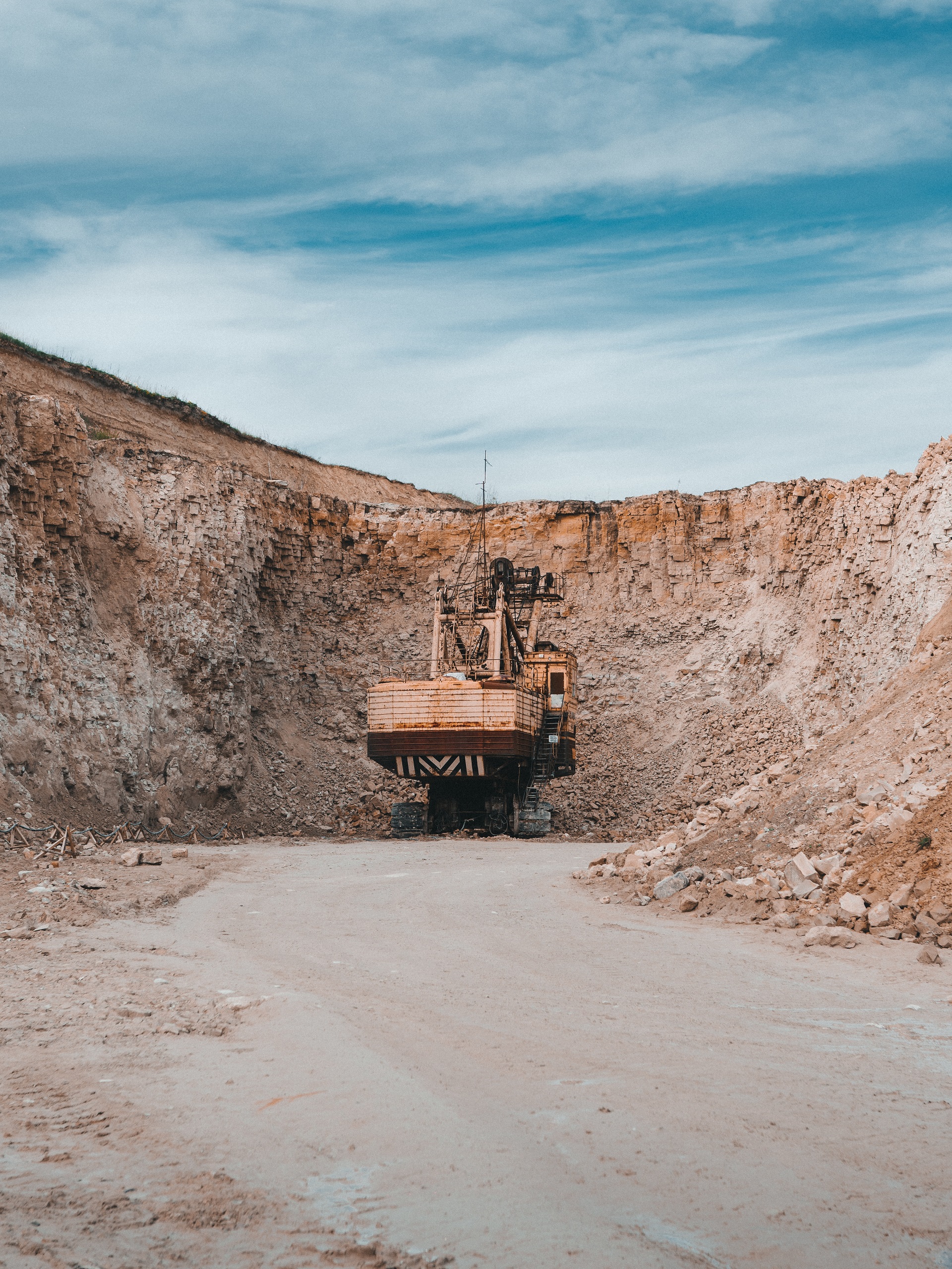
Mining Survey
Our Mining Surveys provide critical information for safe and efficient mining operations. We assess terrain, mineral deposits, and access routes, ensuring optimal resource extraction.
Our As-Built Surveys verify that constructed features match design specifications. From buildings to infrastructure, we ensure compliance and accuracy.


Route Survey
Navigating complex routes requires precision. Our Route Surveys assess transportation corridors, pipelines, and utility networks, ensuring efficient planning and execution.
Why Choose PROCLEP Consulting?
01
Expertise
Our seasoned professionals bring decades of experience to every project.
02
Accuracy
We leave no room for error, ensuring reliable data for informed decisions.
03
Timely Completion
We respect deadlines and deliver results promptly.
Act Now!
We are available on +919073313333 and consult@proclep.in
Don't wait! Avail our Expert Services for all your Infrastructure Surveying Need today for Accurate and Precise Project Constructions and Get Reliable data for your Planning. Contact us for a consultation and experience the PROCLEP difference.


Frequently Asked Questions
A topographical survey aids architects, engineers, and planners in understanding the existing landscape, crucial for design and construction.
The duration varies based on site size and complexity but usually ranges from a few days to a week.
Control points provide a stable reference frame, allowing us to tie various surveys together seamlessly.
Regular re-evaluation ensures their reliability; typically, every few years.
By identifying optimal paths early, we reduce delays and unforeseen challenges.
Modern GPS systems offer centimeter-level precision, making them ideal for various applications.
While rain and heavy cloud cover may impact signal reception, our equipment compensates for such factors.
Safety is paramount. We evaluate slope stability, potential hazards, and access points.
By understanding the landscape, we minimize ecological disruption during mining activities.
Typically after construction completion, before occupancy or handover.
We work closely with project teams to rectify any deviations.
Terrain, environmental impact, cost, and safety considerations play a significant role.
Phone Number :
+91 9073313333
Location Address :
863A, Gokul Dham, Motilal Gupta Road, Kolkata, India
Email Address :
consult@proclep.in
Please fill the Enquiry form below and our team shall reach you to resolve all your Contractual Worries
Send your Claims to us on consult@proclep.in and we shall perform a Complementary Review of your claims and generate a SWOT analysis of your Claims for your better decision making.


